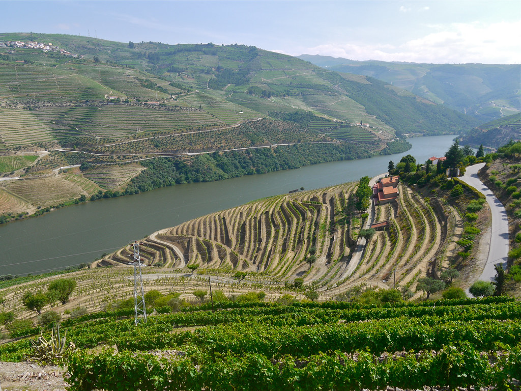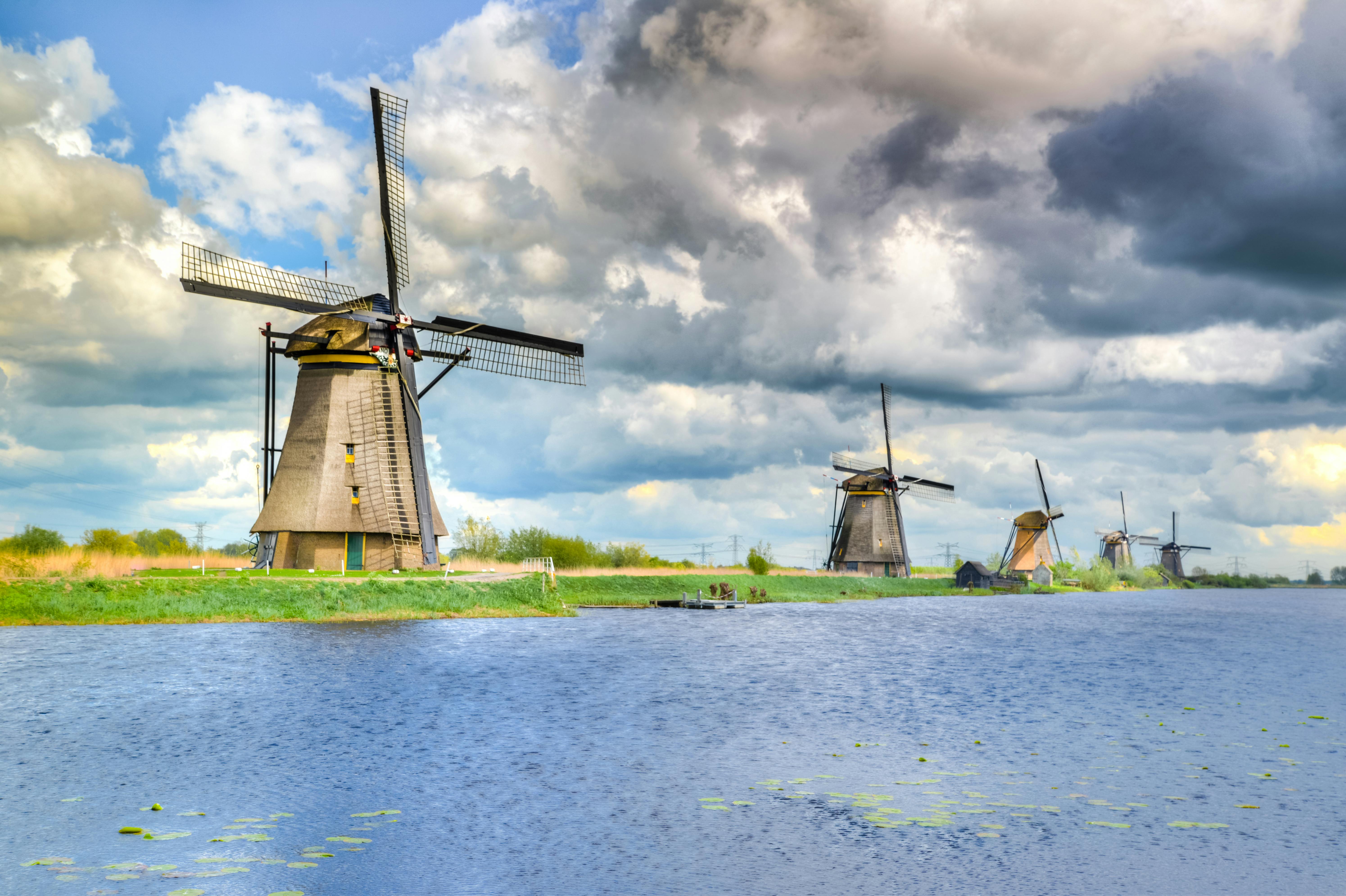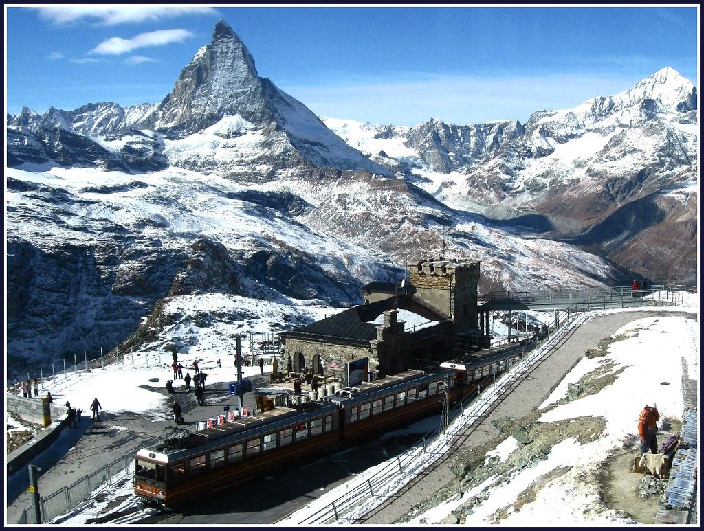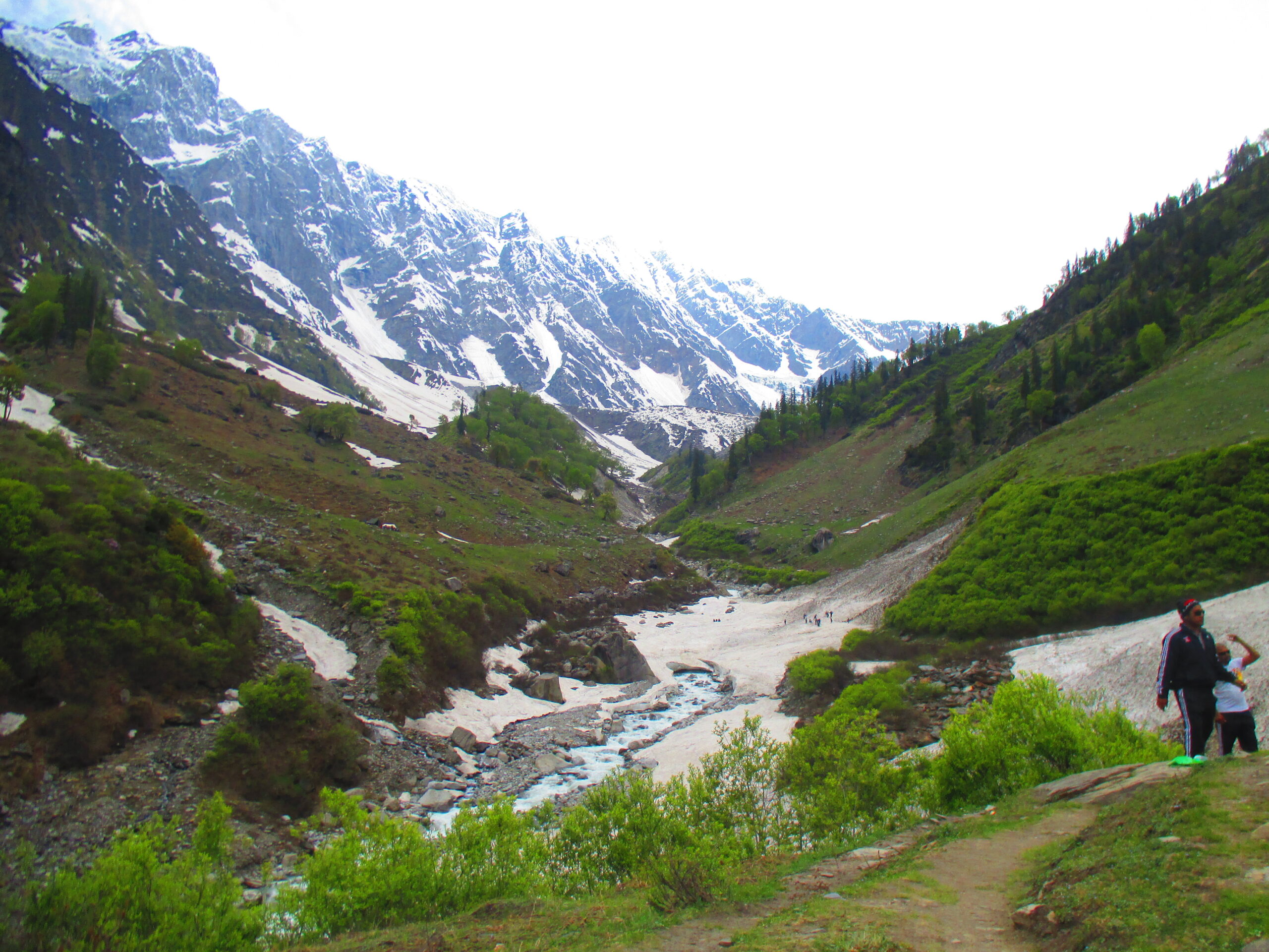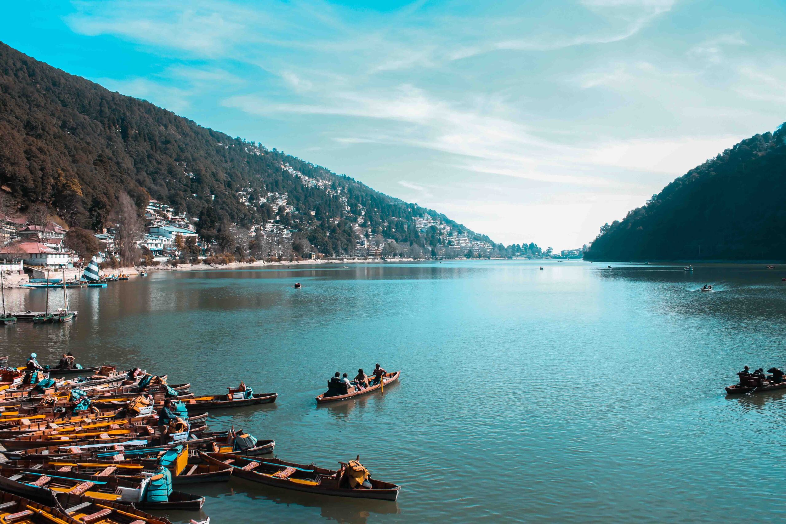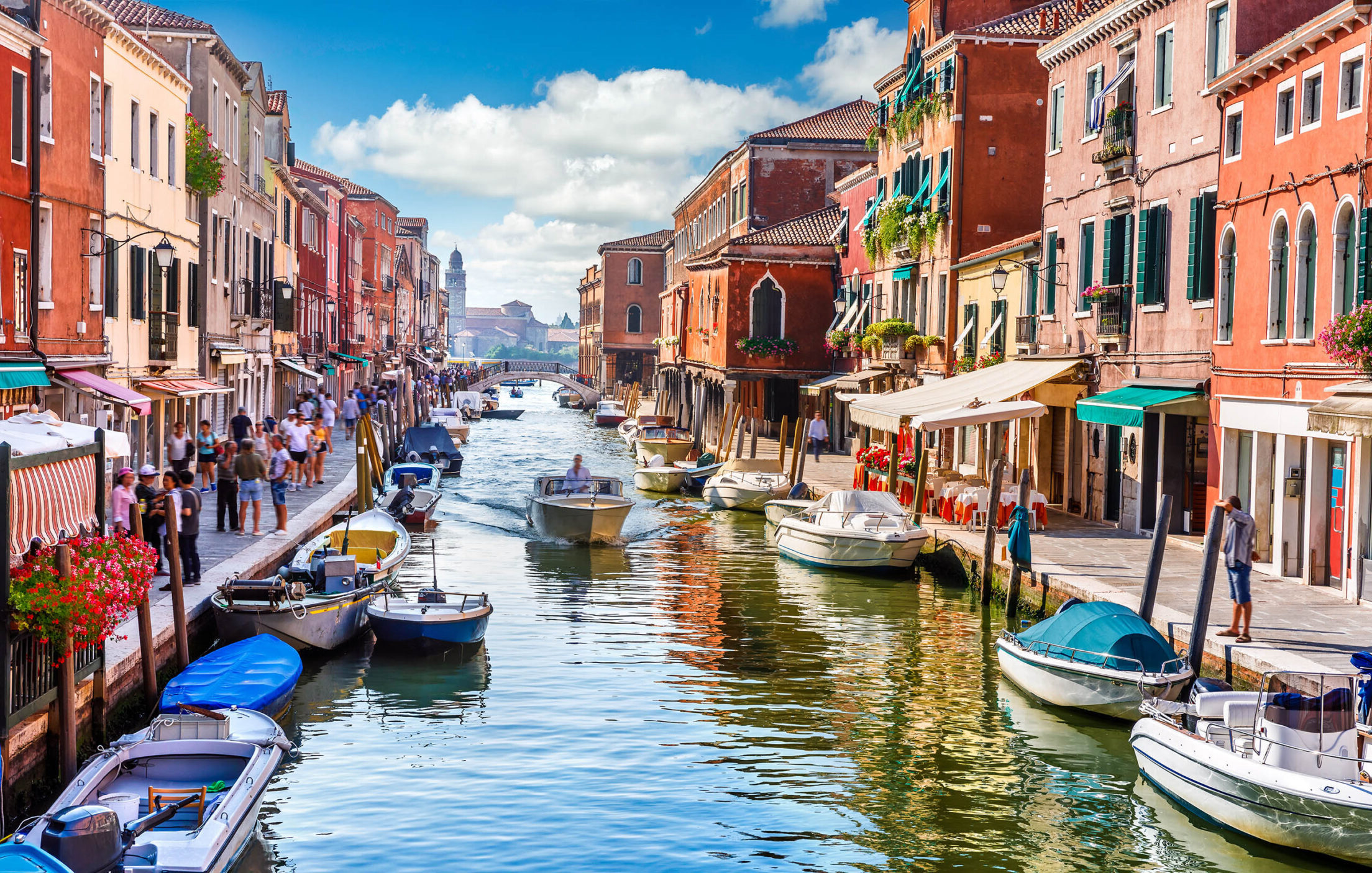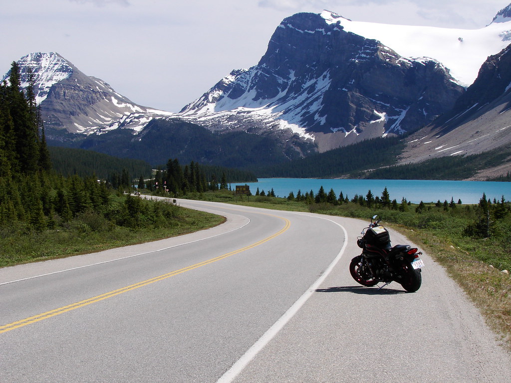
Explore the Most Beautiful Road Trips in the World for Long Drives Nothing compares to the unparalleled freedom and breathtaking scenery of the most beautiful road trips in the world for long drives. From winding mountain passes to expansive coastal routes, these epic journeys promise a thrilling adventure full of awe-inspiring landscapes and unforgettable memories. If you’re a travel enthusiast looking to hit the road, explore this ultimate guide that ranks the highest-altitude road trips in the world.
Most Beautiful Road Trips in the World
1. Leh-Manali Highway, India
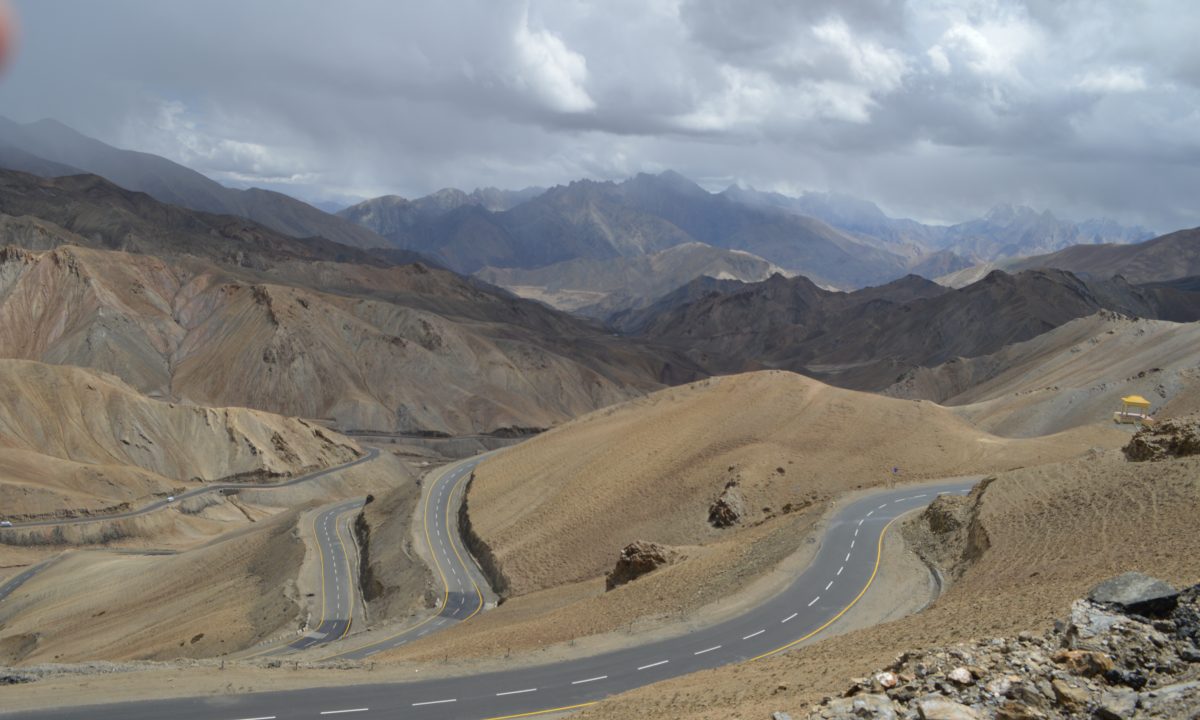
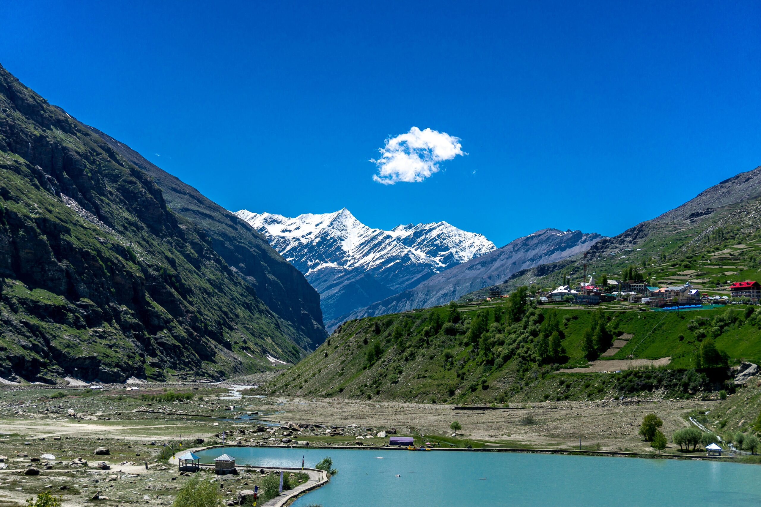
Perched high in the Indian Himalayas, the Leh-Manali Highway is one of the highest-altitude road trips in the world. This challenging but extraordinarily beautiful route stretches over 479 kilometers (298 miles) and reaches altitudes of up to 5,328 meters (17,480 feet) at Taglang La Pass. It offers unparalleled views of jagged peaks, tranquil valleys, and vast plains. This road trip is a must-experience for those seeking adventure, cultural immersion, and breathtaking natural beauty. Beautiful road drive is one of the best places to visit in India.
- Route Length: 479 kilometers (298 miles)
- Highest Altitude: 5,328 meters (17,480 feet) at Taglang La Pass
- Notable Stops: Manali, Rohtang Pass, Keylong, Baralacha Pass, Sarchu, Pang, Leh
- Best Travel Season: June to September, as the highway is closed during winter due to heavy snowfall
- Trekking and Hiking: The Leh-Manali Highway is surrounded by some of the most beautiful trekking routes, including the Zanskar Valley Trek and the Markha Valley Trek. These trails offer stunning views of snow-capped mountains, desolate plains, and ancient monasteries.
- Camping: Experience the tranquility of the Himalayas by camping at various spots along the route, such as Sarchu and Pang. Campsites often provide basic facilities and an unforgettable night under the stars.
- Visiting Monasteries: Leh is home to several ancient monasteries, including Hemis, Thiksey, and Shey. Explore these spiritual centers, marvel at their architecture, and witness the monks’ daily rituals.
- Photography: The rugged landscapes, pristine lakes, and vibrant culture provide endless opportunities for incredible photographs. Capture the beauty of the Rohtang Pass, Baralacha Pass, and the serene Gata Loops.
- Adventure Sports: Engage in adrenaline-pumping activities like river rafting on the Zanskar River and mountain biking along the scenic routes.
- Wildlife Watching: Spot Himalayan wildlife such as marmots, yaks, and snow leopards. The region is home to diverse flora and fauna, making it a paradise for nature enthusiasts.
- Getting There: Fly into Delhi, then take a connecting flight or bus to Manali. Rent a suitable vehicle or join an organized tour to embark on the road trip from Manali to Leh.
- Accommodation: A wide range of accommodations is available, from luxury hotels and resorts in Manali and Leh to basic guesthouses and campsites along the route. Popular options include Chander Palace Hotel, Drilbu Retreat, and Pangong Camp Resort.
- Permits: Inner Line Permits are required for visiting certain restricted areas in Ladakh, such as Nubra Valley and Pangong Lake. These permits can be obtained from local authorities in Leh or through travel agencies.
2. Sani Pass, South Africa/Lesotho
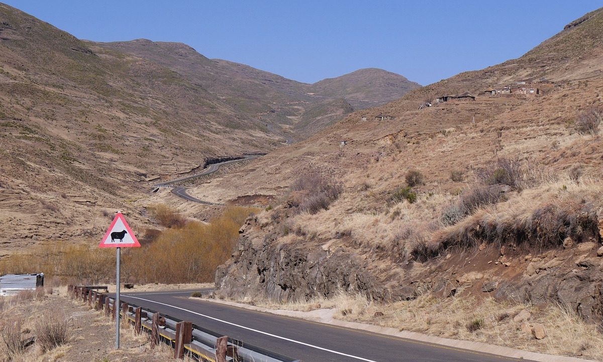
The Sani Pass road trip, connecting South Africa to the Kingdom of Lesotho, is one of the most beautiful high-altitude road trips in the world. This thrilling drive reaches an elevation of 2,876 meters (9,436 feet) and is famous for its hairpin bends, steep gradients, and breathtaking views. The pass is a gateway to the dramatic landscapes of Lesotho, offering a unique blend of adventure and scenic beauty.
- Route Length: 33 kilometers (20.5 miles)
- Highest Altitude: 2,876 meters (9,436 feet)
- Notable Stops: Underberg, Sani Pass, Mokhotlong
- Best Travel Season: December to April for mild weather and clear conditions; often closed in winter due to snow and ice
- 4×4 Off-Roading: Experience the thrill of driving a 4×4 vehicle up the steep, winding roads of Sani Pass. The challenging terrain and sharp hairpin bends make for an exhilarating adventure.
- Hiking and Trekking: Explore numerous trails around the Drakensberg Mountains, offering stunning views, waterfalls, and diverse flora and fauna. Popular routes include the Giants Cup Trail and the Tsehlanyane National Park trails.
- Cultural Visits: Visit Lesotho villages and learn about the local Basotho culture. Experience traditional music, dance, and crafts, and visit local markets.
- Spectacular Views: Stop at vantage points for stunning panoramas of the Drakensberg range and the rugged landscapes of Lesotho. The viewpoints offer perfect spots for photography and relaxation.
- Dining: Enjoy a drink at the Highest Pub in Africa at the Sani Mountain Lodge. Savor the local cuisine while taking in the breathtaking views from this unique location.
- Getting There: Fly into Durban, South Africa, and drive to Underberg. From Underberg, embark on the road trip up Sani Pass into Lesotho. Ensure your vehicle is equipped for the challenging drive.
- Accommodation: Options range from lodges and hotels in Underberg to cozy accommodations in Mokhotlong. Recommended places include Sani Mountain Lodge, Sani Pass Hotel, and Molumong Lodge.
- Permits: Ensure you have a valid passport and the necessary visa for entry into Lesotho. 4×4 vehicles are mandatory for this route due to the difficult terrain.
3. Transfagarasan Highway, Romania
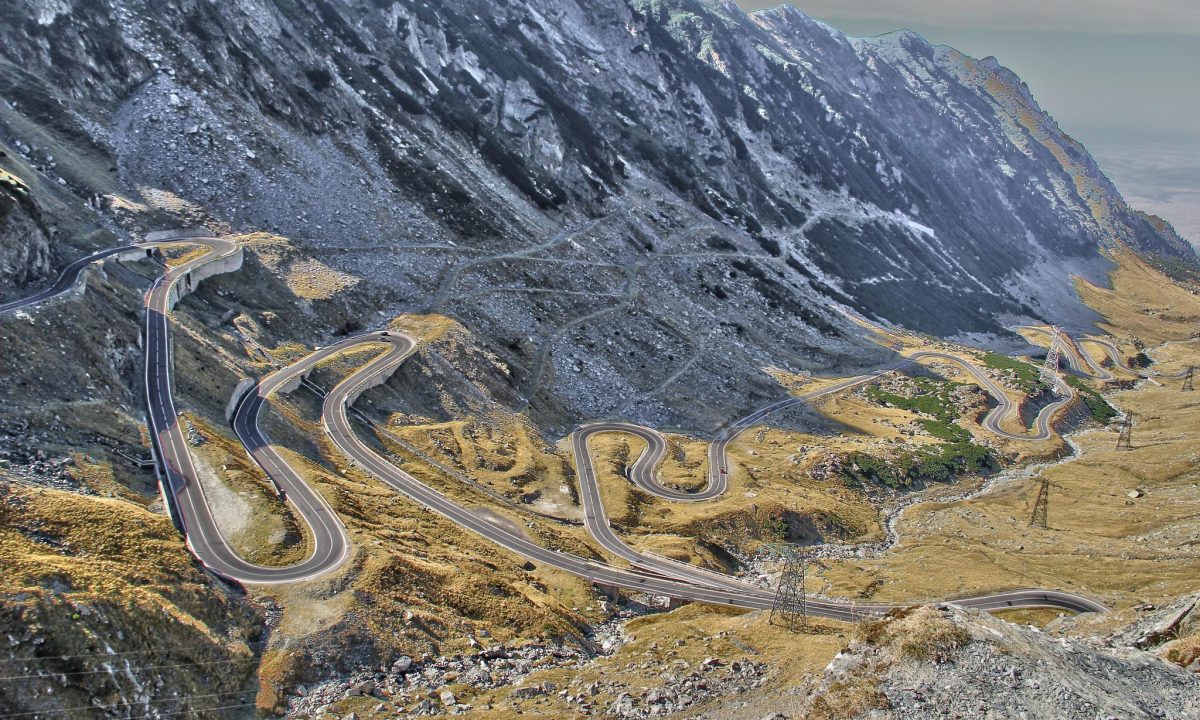
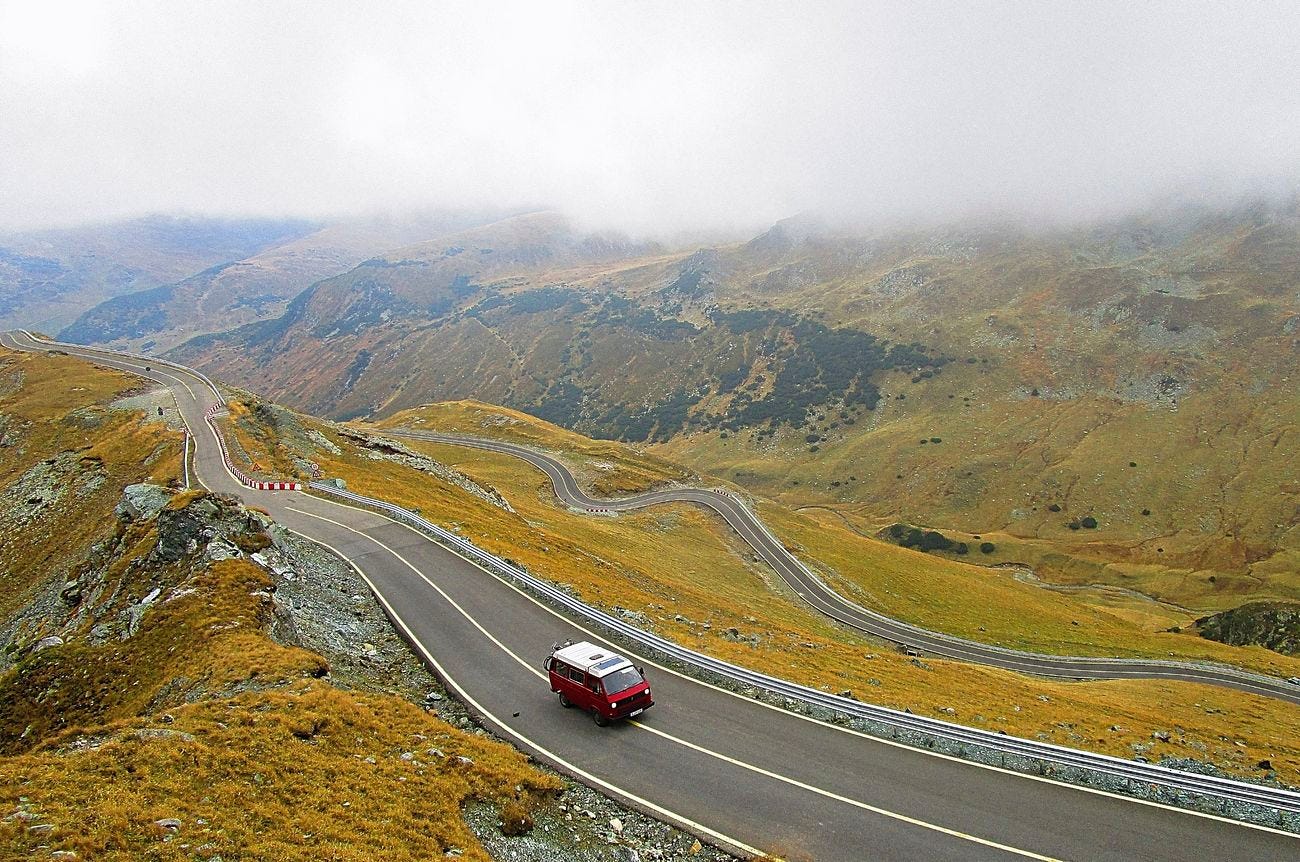
Often described as one of the most beautiful and thrilling road trips in the world, the Transfagarasan Highway in Romania spans 90 kilometers (56 miles) through the majestic Fagaras Mountains. The highway ascends to an altitude of 2,042 meters (6,699 feet), offering dramatic scenery and adrenaline-pumping drives. This route is a must for driving enthusiasts and nature lovers.
- Route Length: 90 kilometers (56 miles)
- Highest Altitude: 2,042 meters (6,699 feet)
- Notable Stops: Sibiu, Balea Lake, Vidraru Dam, Curtea de Arges
- Best Travel Season: June to October, as the highway is closed during winter due to snow
- Visit Balea Lake: A glacial lake surrounded by rugged peaks, perfect for hiking, boating, and photography. In winter, stay at the nearby Ice Hotel for a unique experience.
- Explore Vidraru Dam: One of Romania’s largest dams, offering breathtaking views and boat tours on the Vidraru Lake. The dam is an engineering marvel and a popular tourist attraction.
- Castle Visits: Discover the historic Curtea de Arges Monastery and Poenari Castle, the real Dracula’s Castle. These sites provide rich historical insights and stunning architecture.
- Wildlife Watching: Spot Carpathian wildlife such as bears, lynx, and eagles. The region is home to diverse ecosystems, making it a great destination for nature enthusiasts.
- Hiking and Camping: Enjoy various hiking trails and camping spots around the Fagaras Mountains. The trails offer spectacular views and a chance to explore the pristine wilderness.
- Getting There: Fly into Bucharest or Sibiu, rent a car, and drive to the Transfagarasan Highway. The journey from either city provides beautiful scenery and additional exploration opportunities.
- Accommodation: A range of hotels, guesthouses, and mountain lodges in Sibiu and along the route. Popular options include Hotel Cumpatu, Cabana Conacul Ursului, and Cabana Balea Lac.
- Permits: No special permits are required for traveling the highway. It’s advisable to check road conditions and closures before starting the journey.
4. Great St Bernard Pass, Switzerland/Italy
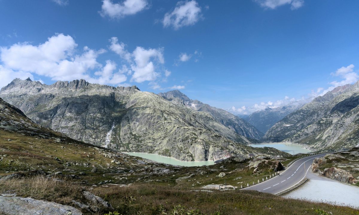
The Great St Bernard Pass is one of the oldest and most scenic road passes in the Alps, connecting Switzerland to Italy. At an elevation of 2,469 meters (8,100 feet), it is one of the highest mountain passes in Europe. This historic route has been used for centuries and offers stunning views of snow-capped peaks, alpine meadows, and charming villages. This route is perfect for those seeking the most beautiful high-altitude road trips for long drives in Europe.
- Route Length: 48 kilometers (30 miles)
- Highest Altitude: 2,504 meters (8,215 feet)
- Notable Stops: Bruck, Ferleiten, Fuscher Törl, Hochtor, Kaiser-Franz-Josefs-Höhe
- Best Travel Season: May to October, as the road is closed in winter due to snow
- Hiking and Trekking: Explore numerous hiking trails with varying difficulty levels, offering stunning views of glaciers, meadows, and alpine flora.
- Photography: Capture the dramatic scenery of the Austrian Alps, including panoramic views of the Grossglockner, emerald-green alpine lakes, and picturesque valleys.
- Visit Kaiser-Franz-Josefs-Höhe: This visitor center offers panoramic views of the Pasterze Glacier and the summit of the Grossglockner. It’s an excellent spot for learning about the region’s history and geology.
- Wildlife Watching: Spot local wildlife such as marmots, ibex, and golden eagles along the route.
- Biking and Motorcycling: The winding roads and scenic views make this route a popular destination for biking and motorcycling enthusiasts.
- Getting There: Fly into Zurich or Geneva (Switzerland), then drive or take a train to Martigny. Alternatively, fly into Turin (Italy) and drive to Aosta.
- Accommodation: Options range from luxury hotels and cozy guesthouses to alpine lodges along the route. Recommended places include Hotel de l’Union in Bourg-Saint-Pierre and Hotel Milleluci in Aosta.
- Permits: No special permits are required for traveling the pass, but check road conditions and closures before starting the journey.
5. Grossglockner High Alpine Road, Austria
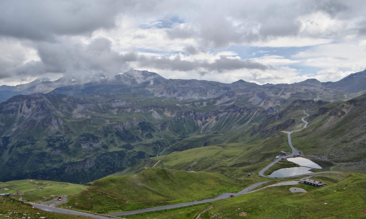
The Grossglockner High Alpine Road is one of the most spectacular and scenic road trips in Europe, winding through the Austrian Alps. This 48-kilometer (30 miles) route climbs to an elevation of 2,504 meters (8,215 feet) and offers breathtaking views of Austria’s highest peak, the Grossglockner (3,798 meters / 12,461 feet). This beautiful road in European Alps is one of the best places to visit in Switzerland.
- Route Length: 80 kilometers (50 miles)
- Highest Altitude: 2,469 meters (8,100 feet)
- Notable Stops: Martigny (Switzerland), Bourg-Saint-Pierre, Great St Bernard Hospice, Aosta (Italy)
- Best Travel Season: June to October, as the pass is closed in winter due to snow
- Hiking and Trekking: Explore numerous hiking trails with varying difficulty levels, offering stunning views of glaciers, meadows, and alpine flora.
- Photography: Capture the dramatic scenery of the Austrian Alps, including panoramic views of the Grossglockner, emerald-green alpine lakes, and picturesque valleys.
- Visit Kaiser-Franz-Josefs-Höhe: This visitor center offers panoramic views of the Pasterze Glacier and the summit of the Grossglockner. It’s an excellent spot for learning about the region’s history and geology.
- Wildlife Watching: Spot local wildlife such as marmots, ibex, and golden eagles along the route.
- Biking and Motorcycling: The winding roads and scenic views make this route a popular destination for biking and motorcycling enthusiasts.
- Getting There: Fly into Salzburg, Austria, then drive to Bruck, the starting point of the Grossglockner High Alpine Road. Alternatively, use public transportation to reach the area.
- Accommodation: A range of hotels, guesthouses, and alpine lodges in Bruck, Fusch, and other nearby towns. Recommended options include Naturidyll Hotel Landhof Irschen and Glocknerhof Hotel.
- Permits: No special permits required, but there is a toll fee for using the Grossglockner High Alpine Road.
6. Milford Road, New Zealand
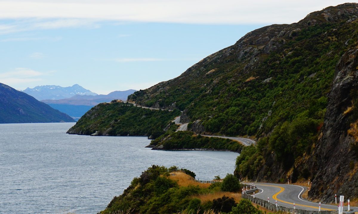
Milford Road, also known as State Highway 94, is one of the most awe-inspiring road trips in New Zealand. This 120-kilometer (75 miles) route through Fiordland National Park reaches an elevation of 940 meters (3,083 feet) at the Homer Tunnel and provides breathtaking views of mountains, rainforests, and waterfalls. Around this amazing road drive you can also enjoy one of the Most Beautiful Treks in the World.
- Route Length: 120 kilometers (75 miles)
- Highest Altitude: 940 meters (3,083 feet) at Homer Tunnel
- Notable Stops: Te Anau, Mirror Lakes, Knobs Flat, The Chasm, Homer Tunnel, Milford Sound
- Best Travel Season: November to April for the most favorable weather conditions
- Cruise Milford Sound: Take a boat cruise to explore the stunning fjords, waterfalls, and wildlife of Milford Sound. Dolphin and seal sightings are common, and the views are unforgettable.
- Hiking Trails: Enjoy scenic walks and hikes, including the Milford Track, Key Summit Track, and Lake Marian Track. Each trail offers unique views of the lush rainforests and mountainous landscapes.
- Photography: Capture the dramatic scenery of Fiordland, including towering mountains, cascading waterfalls, and reflective lakes. Mirror Lakes and The Chasm are popular photo spots.
- Wildlife Watching: Spot native wildlife, such as kea (alpine parrots), New Zealand fur seals, and Fiordland crested penguins.
- Scenic Flights: For a different perspective, take a scenic flight over Fiordland National Park to witness the majestic landscapes from above.
- Getting There: Fly into Queenstown or Invercargill, then drive to Te Anau, the gateway to Milford Road. From Te Anau, follow State Highway 94 to Milford Sound.
- Accommodation: A variety of accommodations are available in Te Anau, including hotels, motels, and lodges. In Milford Sound, options are more limited, but Milford Sound Lodge offers comfortable lodgings.
- Permits: No special permits required for the road trip, but advance booking is recommended for Milford Sound cruises and accommodation during peak seasons.
7. Trollstigen, Norway
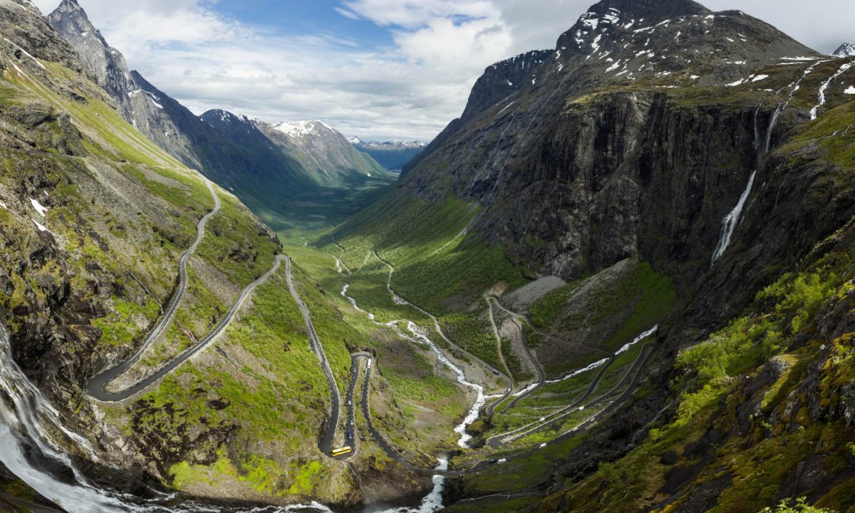
Trollstigen, also known as the Troll Ladder, is one of Norway’s most famous destination and scenic road trips. This mountain road in the Rauma region ascends to an elevation of 850 meters (2,789 feet) and features steep inclines and 11 hairpin bends, providing dramatic views of the surrounding mountains and high waterfalls. Such natural beauty has listed Norway as one of the most beautiful countries in Europe.
- Route Length: 106 kilometers (66 miles) from Åndalsnes to Valldal
- Highest Altitude: 850 meters (2,789 feet)
- Notable Stops: Åndalsnes, Trollstigen Viewpoint, Stigfossen Waterfall, Gudbrandsjuvet Gorge, Valldal
- Best Travel Season: May to October, as the road is closed in winter due to snow
- Trollstigen Viewpoint: Visit the purpose-built viewpoint for panoramic views of the Trollstigen road and the surrounding peaks. The dramatic views are a must-see for photographers and nature enthusiasts.
- Stigfossen Waterfall: Stop at the base of this 320-meter (1,050 feet) high waterfall, where you can feel the power of the cascading water up close.
- Hiking and Trekking: Explore hiking trails in the region, including the Trollstigen trail, which offers breathtaking views and a chance to experience the rugged landscape of Norway.
- Rafting and Kayaking: Enjoy white-water rafting and kayaking on the rivers near Valldal, offering thrilling experiences amid picturesque landscapes.
- Food and Dining: Savor local Norwegian cuisine at restaurants and cafés along the route, particularly the delicious strawberries from Valldal, known as the “Strawberry Valley.”
- Getting There: Fly into Ålesund or Molde, then drive to Åndalsnes. From Åndalsnes, follow the Trollstigen road to Valldal.
- Accommodation: Stay in hotels, guesthouses, and lodges in Åndalsnes and Valldal. Recommended places include Hotel Aak in Åndalsnes and Juvet Landscape Hotel in Valldal.
- Permits: No special permits are required for traveling Trollstigen, but check road conditions and closures before starting the journey.
8. Col de l'Iseran, France
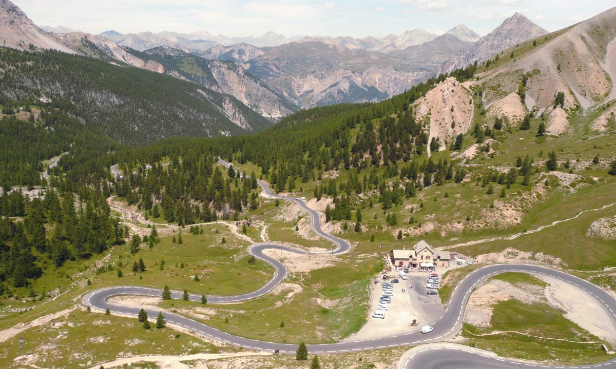
Col de l’Iseran is the highest paved mountain pass in the Alps, located in southeastern France. This majestic road trip, reaching an elevation of 2,764 meters (9,068 feet), takes you through the heart of the French Alps, offering breathtaking views of glaciers, alpine meadows, and charming mountain villages. It is one of the most beautiful high-altitude road trips for long drives in Europe. This is one of the most beautiful country in world.
- Route Length: 48 kilometers (30 miles) from Bourg-Saint-Maurice to Bonneval-sur-Arc
- Highest Altitude: 2,764 meters (9,068 feet)
- Notable Stops: Bourg-Saint-Maurice, Val d’Isère, Col de l’Iseran, Bonneval-sur-Arc
- Best Travel Season: June to September, as the pass is closed in winter due to snow
- Skiing and Snowboarding: In the winter months, the area around Val d’Isère is a paradise for winter sports enthusiasts, offering world-class skiing and snowboarding facilities.
- Hiking and Trekking: Discover numerous trails in the surrounding mountains, including routes through the Vanoise National Park, offering stunning views of meadows, valleys, and wildlife.
- Photography: Capture the majestic Alps, serene alpine lakes, and picturesque villages. The unique light and landscapes provide endless photographic opportunities.
- Cycling: The Col de l’Iseran is a popular cycling route and a challenging climb for avid cyclists, offering rewarding views and a sense of achievement.
- Cultural Visits: Explore the charming village of Bonneval-sur-Arc, known for its traditional stone houses and alpine architecture.
- Getting There: Fly into Geneva (Switzerland) or Lyon (France), then drive to Bourg-Saint-Maurice. From Bourg-Saint-Maurice, follow the road to Bonneval-sur-Arc.
- Accommodation: A range of hotels, guesthouses, and alpine lodges are available in Bourg-Saint-Maurice, Val d’Isère, and Bonneval-sur-Arc. Recommended places include Hotel Altitude in Val d’Isère and Chalet Hotel Le Chamois d’Or in Bonneval-sur-Arc.
- Permits: No special permits are required for traveling the Col de l’Iseran, but check road conditions and closures before starting the journey.
9. Road to Hana, Hawaii, USA
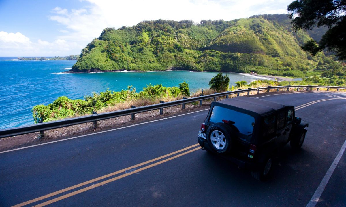
The Road to Hana is one of the most scenic and beautiful road trips for long drives in the world. This 103-kilometer (64 miles) route along Maui’s northeastern coast offers lush tropical landscapes, Beautiful waterfalls, and stunning ocean views. The winding road with its 620 curves and 59 bridges provides an adventurous and picturesque drive. If you love exploring high-altitude routes and breathtaking natural beauty, the Road to Hana should be on your bucket list.
- Route Length: 103 kilometers (64 miles)
- Highest Altitude: Approximately 300 meters (984 feet)
- Notable Stops: Paia, Twin Falls, Ho’okipa Lookout, Garden of Eden Arboretum, Wailua Falls, Hana, Seven Sacred Pools (Ohe’o Gulch)
- Best Travel Season: Year-round, but the best weather is typically from April to October.
- Waterfall Viewing: Stop at Twin Falls, Wailua Falls, and various roadside waterfalls for stunning scenic views and refreshing dips. These natural attractions highlight the untouched beauty synonymous with high-altitude lakes found globally.
- Hiking: Explore the lush trails in the Garden of Eden Arboretum or take a hike to the Seven Sacred Pools at Ohe’o Gulch. These hikes offer experiences similar to those around high-altitude lakes, providing sweeping views and immersive nature encounters.
- Photography: Capture the vibrant tropical landscapes, dramatic coastlines, and serene waterfalls. The scenic beauty of the Hana Highway offers countless photo opportunities and rivals the impressive vistas found at the highest-altitude lakes.
- Beach Visits: Relax on the beautiful beaches such as Waianapanapa State Park with its famous black sand beach, and Ho’okipa Beach, known for its excellent windsurfing conditions.
- Botanical Gardens: Visit the Garden of Eden Arboretum, featuring a variety of tropical plants, trees, and flowers along with stunning overlooks.
- Getting There: Fly into Kahului Airport on Maui, rent a car, and drive to the Route 36/Hana Highway starting point in Paia. Be prepared for a full day of driving and exploring.
- Accommodation: Various accommodation options are available in Paia, Hana, and along the route, ranging from luxury resorts to cozy inns and vacation rentals. Recommended places include Travaasa Hana and Hana Kai Maui Resort.
- Permits: No special permits required for traveling the Road to Hana, but it is advisable to check weather conditions and road closures due to landslides or heavy rains.
10. Amalfi Coast Road, Italy
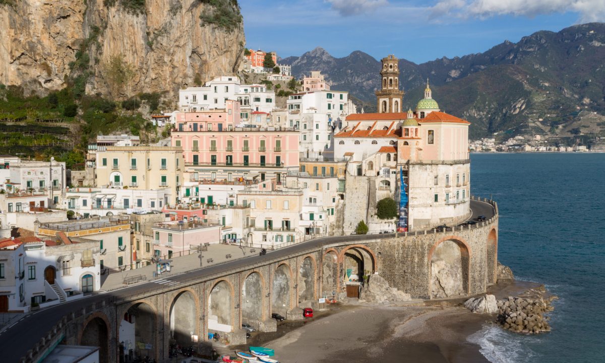
The Amalfi Coast Road, also known as SS163, is one of the most beautiful coastal road trips and perfect for long drives. This 50-kilometer (31 miles) route along the southern coast of Italy’s Sorrentine Peninsula offers dramatic views of the Mediterranean Sea, charming seaside towns, and terraced vineyards. The winding road with its hairpin bends provides a thrilling and scenic drive.
- Route Length: 50 kilometers (31 miles)
- Highest Altitude: Approximately 500 meters (1,640 feet)
- Notable Stops: Sorrento, Positano, Praiano, Amalfi, Ravello
- Best Travel Season: April to June and September to October for mild weather and fewer crowds.
- Exploring Coastal Towns: Visit the picturesque towns of Positano, Amalfi, and Ravello. Stroll through the charming streets, enjoy the local cuisine, and shop for handmade crafts and souvenirs, similar to the unique experiences available around high-altitude lakes.
- Beach Visits: Relax on the beautiful beaches along the Amalfi Coast, including Spiaggia Grande in Positano, Marina Grande in Amalfi, and Arienzo Beach, drawing comparisons to the serene beaches of high-altitude lakes.
- Boat Tours: Take a boat tour along the coast to explore hidden coves, grottoes, and stunning coastal views. These tours provide a different perspective much like scenic boat trips on high-altitude lakes.
- Photography: Capture the beauty of the Mediterranean Sea, the colorful cliffside towns, and the terraced gardens and vineyards. The Amalfi Coast provides endless photographic opportunities akin to those seen at the highest-altitude lakes in the world.
- Historical Sites: Visit historic landmarks such as the Cathedral of Amalfi, the Villa Rufolo and Villa Cimbrone in Ravello, and the ancient watchtowers along the coast.
- Getting There: Fly into Naples International Airport, rent a car, and drive to the Amalfi Coast. The route typically starts in Sorrento and continues along SS163.
- Accommodation: A variety of accommodation options are available in Sorrento, Positano, Amalfi, and Ravello, ranging from luxury hotels to boutique inns and vacation rentals. Recommended places include Hotel Santa Caterina, Le Sirenuse, and Palazzo Avino.
- Permits: No special permits required, but it is advisable to book accommodations and parking in advance, especially during peak tourist seasons.
11. Icefields Parkway, Canada
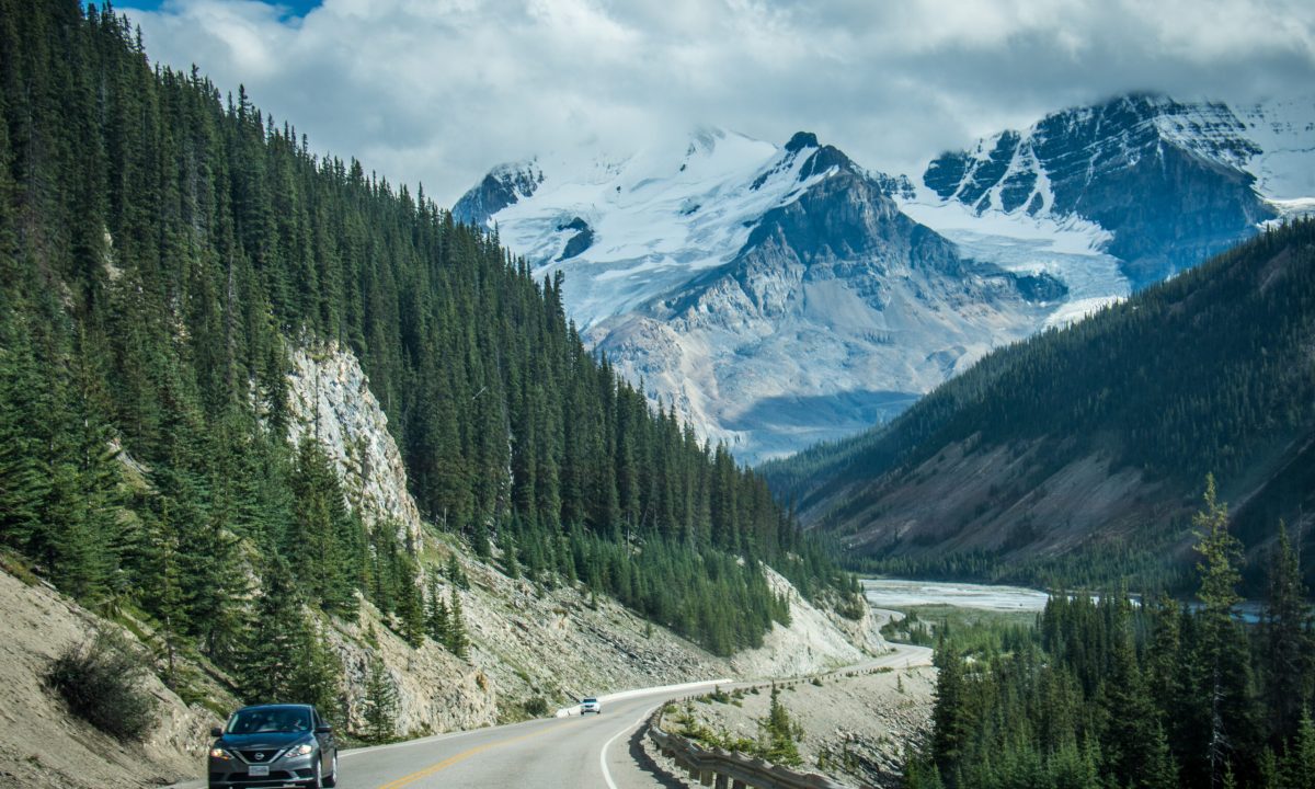
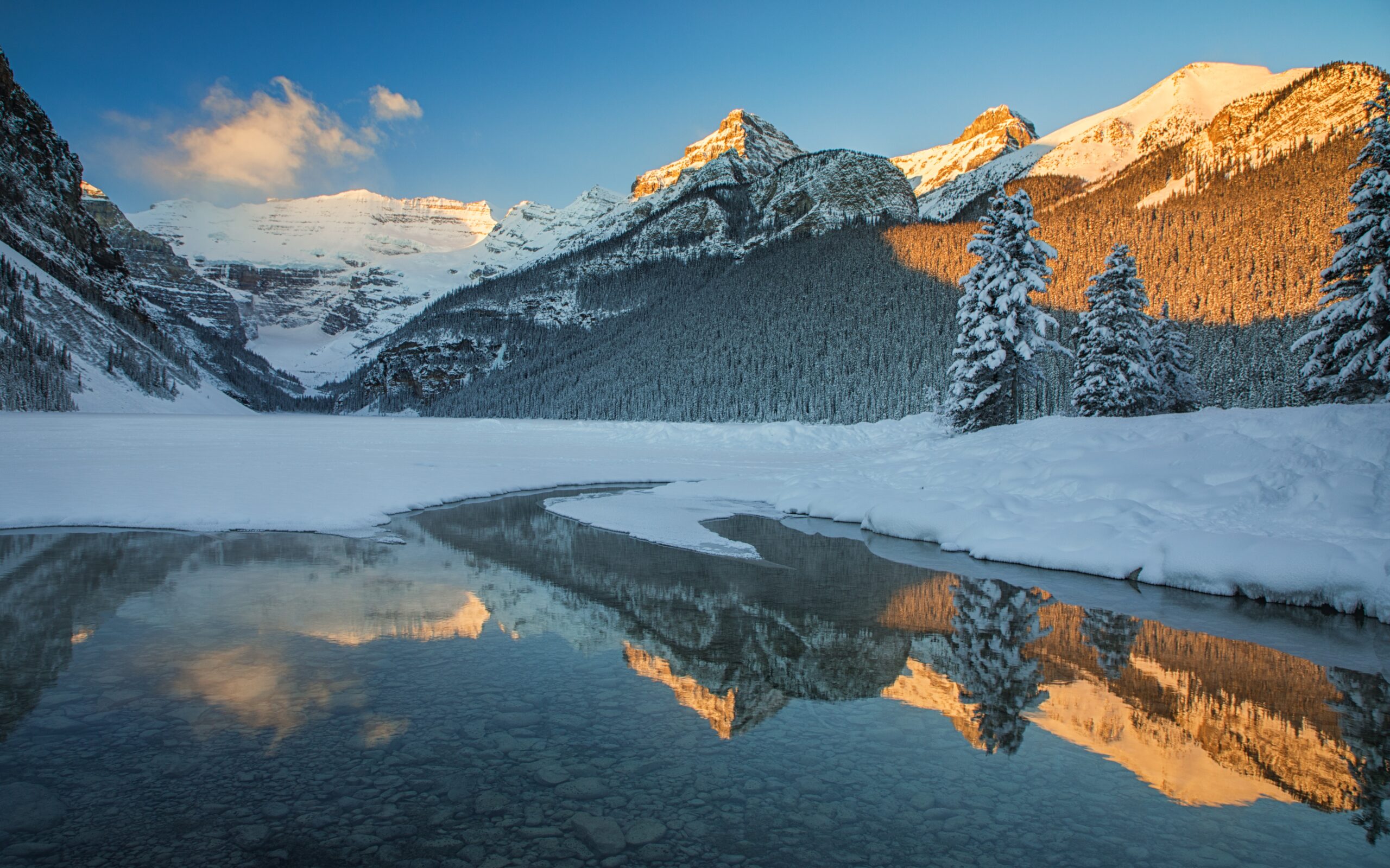
The Icefields Parkway, also known as Highway 93, is one of the most scenic road trips in the world for long drives. This 232-kilometer (144 miles) route through the Canadian Rockies connects Jasper and Banff National Parks, offering breathtaking views of icefields, glaciers, waterfalls, and mountain lakes, drawing several parallels to the allure of high-altitude lakes. Beautiful place of Canada has best natural beauty of world.
- Route Length: 232 kilometers (144 miles)
- Highest Altitude: 2,070 meters (6,791 feet) at Bow Summit
- Notable Stops: Jasper, Athabasca Falls, Sunwapta Falls, Columbia Icefield, Peyto Lake, Lake Louise, Banff
- Best Travel Season: June to September for the best weather and accessible roads; winter months require caution due to snow and ice, similar to the conditions of accessing high-altitude lakes.
- Visiting Waterfalls: Stop at Athabasca Falls and Sunwapta Falls to witness the power of the cascading water and explore the surrounding trails. Much like high-altitude lakes, these waterfalls offer dramatic, picturesque landscapes.
- Wildlife Watching: Keep an eye out for wildlife such as bears, elk, moose, and mountain goats along the route. The Canadian Rockies are rich in biodiversity, similar to high-altitude lake ecosystems.
- Exploring Glaciers: Take a guided tour of the Columbia Icefield and walk on the Athabasca Glacier. The ice explorer tours offer a unique opportunity to experience the icefield up close, akin to exploring glaciers near high-altitude lakes.
- Photography: Capture the stunning landscapes including the turquoise waters of Peyto Lake, the majestic glaciers, and the towering peaks of the Rockies, mimicking the photographic opportunities around high-altitude lakes.
- Hiking and Camping: Enjoy scenic hikes and camping in Jasper and Banff National Parks. Popular trails include the Parker Ridge Trail, Johnston Canyon, and Lake Louise.
- Getting There: Fly into Edmonton or Calgary, rent a car, and drive to Jasper or Banff. The Icefields Parkway connects the two national parks.
- Accommodation: A range of accommodations is available in Jasper, Lake Louise, and Banff, including hotels, lodges, and campgrounds. Recommended places include Fairmont Jasper Park Lodge, Fairmont Chateau Lake Louise, and Fairmont Banff Springs.
- Permits: A park pass is required for entering and traveling through Jasper and Banff National Parks. Passes can be purchased at park entrances or online.
12. Pacific Coast Highway, USA
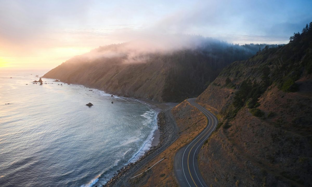
The Pacific Coast Highway (PCH), also known as California State Route 1, is one of the most iconic road trips in the world and perfect for long drives. This 1,056-kilometer (656 miles) route along California’s coast offers stunning ocean views, rugged cliffs, charming coastal towns, and beautiful beaches, reminiscent of the stunning vistas seen around high-altitude lakes.
- oute Length: 1,056 kilometers (656 miles)
- Highest Altitude: Approximately 500 meters (1,640 feet)
- Notable Stops: San Francisco, Monterey, Big Sur, Santa Barbara, Malibu, Los Angeles
- Best Travel Season: Year-round, but the best weather is typically from late spring to early fall.
- Exploring Coastal Towns: Visit charming towns such as Monterey, Carmel-by-the-Sea, and Santa Barbara. Enjoy local cuisine, shops, and galleries, paralleling the cultural richness found near high-altitude lakes.
- Beach Visits: Relax on the beautiful beaches along the route, including Pfeiffer Beach in Big Sur, Zuma Beach in Malibu, and Santa Monica Beach, similar to the serene beach experiences found at high-altitude lakes.
- Whale Watching: Take a whale-watching tour from Monterey or Santa Barbara to see gray whales, blue whales, and humpback whales in their natural habitat.
- Photography: Capture stunning coastal scenery, iconic landmarks such as the Bixby Creek Bridge, and the dramatic cliffs and ocean views of Big Sur, much like capturing the beauty around the highest-altitude lakes.
- Hiking and Outdoor Activities: Explore hiking trails in state parks such as Julia Pfeiffer Burns State Park and Point Lobos State Natural Reserve. Enjoy outdoor activities such as surfing, kayaking, and biking.
- Getting There: Fly into San Francisco or Los Angeles, rent a car, and drive the Pacific Coast Highway. The route can be started from either end.
- Accommodation: A variety of accommodations are available along the route, from luxury resorts and boutique inns to affordable motels and campgrounds. Recommended places include Post Ranch Inn in Big Sur, Pacifica Suites in Santa Barbara, and Shutters on the Beach in Santa Monica.
- Permits: No special permits required for traveling the Pacific Coast Highway, but it is advisable to book accommodations in advance, especially during peak tourist seasons.
Conclusion: Embarking on the most beautiful road trips in the world for long drives promises an unforgettable adventure filled with stunning landscapes, thrilling experiences, and rich cultural encounters. From the high-altitude roads of the Himalayas and the scenic coastal routes of California to the historic mountain passes of the Alps and the diverse landscapes of Argentina, these road trips offer something unique for every travel enthusiast.
Plan your next road trip and discover the world’s breathtaking beauty from the comfort of your car. Enjoy the best road trips for long drives and create lifelong memories as you explore these remarkable destinations. Whether you seek adventure, serenity, or cultural insights, these road trips guarantee an adventure of a lifetime. Pack your bags, tune your engine, and set out on these epic drives to experience the most beautiful road trips in the world for long drives. Be sure to check road conditions, travel regulations, and obtain necessary permits to ensure a smooth and enjoyable journey. Happy driving!
